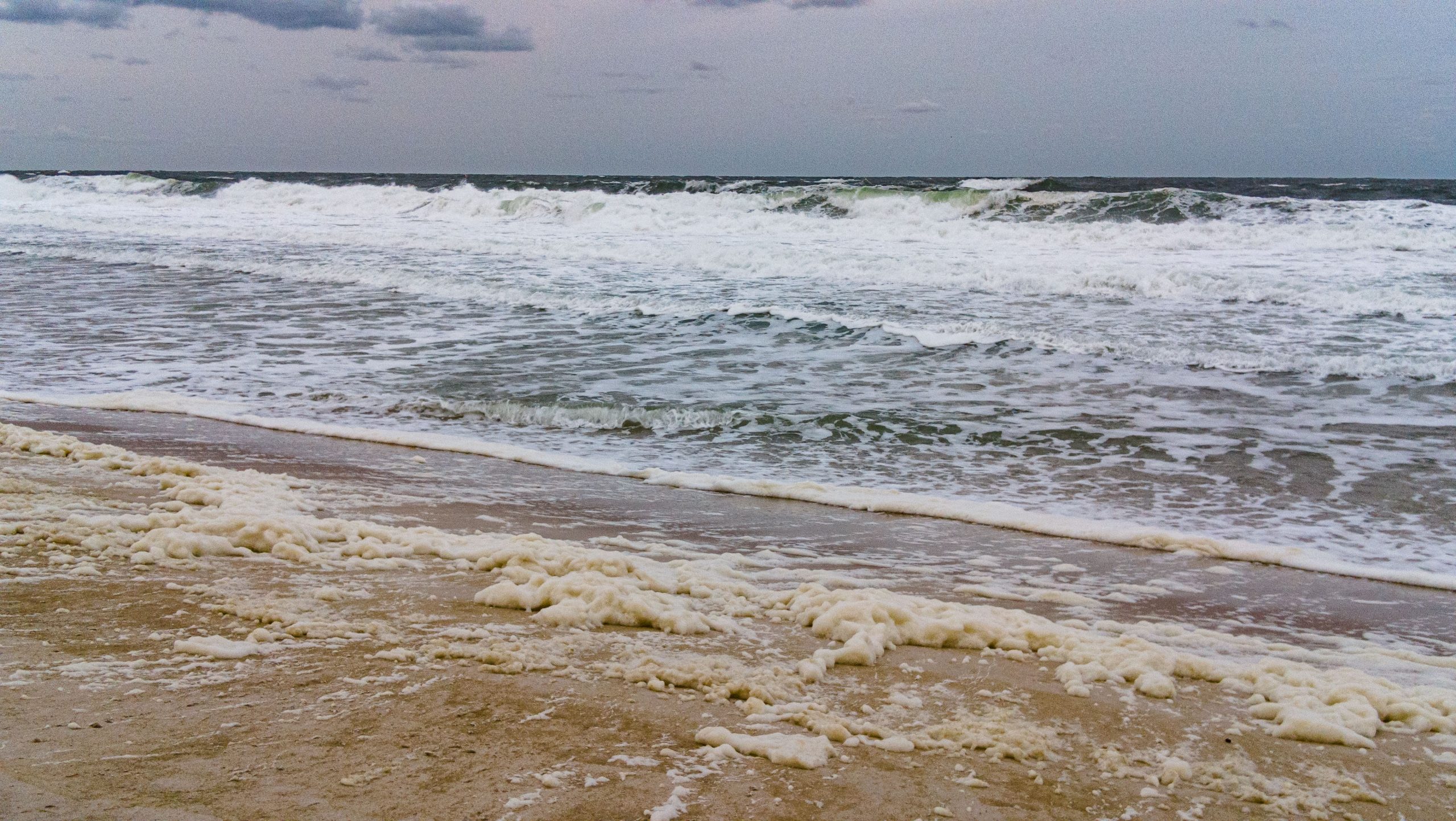
Beach erosion was already evident Friday afternoon in Ortley Beach, where officials have taken some precautions in preparation for a coastal storm forecast to move through this weekend.
Water rushed into the Manasquan Inlet and Barnegat Bay, while the ocean began to roar even at low tide. Foam enveloped the beachfront, and some “cliffs” began to form in the usual trouble-spots in Ortley Beach – specifically the area in and around Fifth Avenue. Video of this can be seen in the video above. Some ad-blocking software may interfere with the site’s video player. Still photos are below.

A coastal storm moves into the Jersey Shore, Sept. 22, 2023. (Photo: Shorebeat)

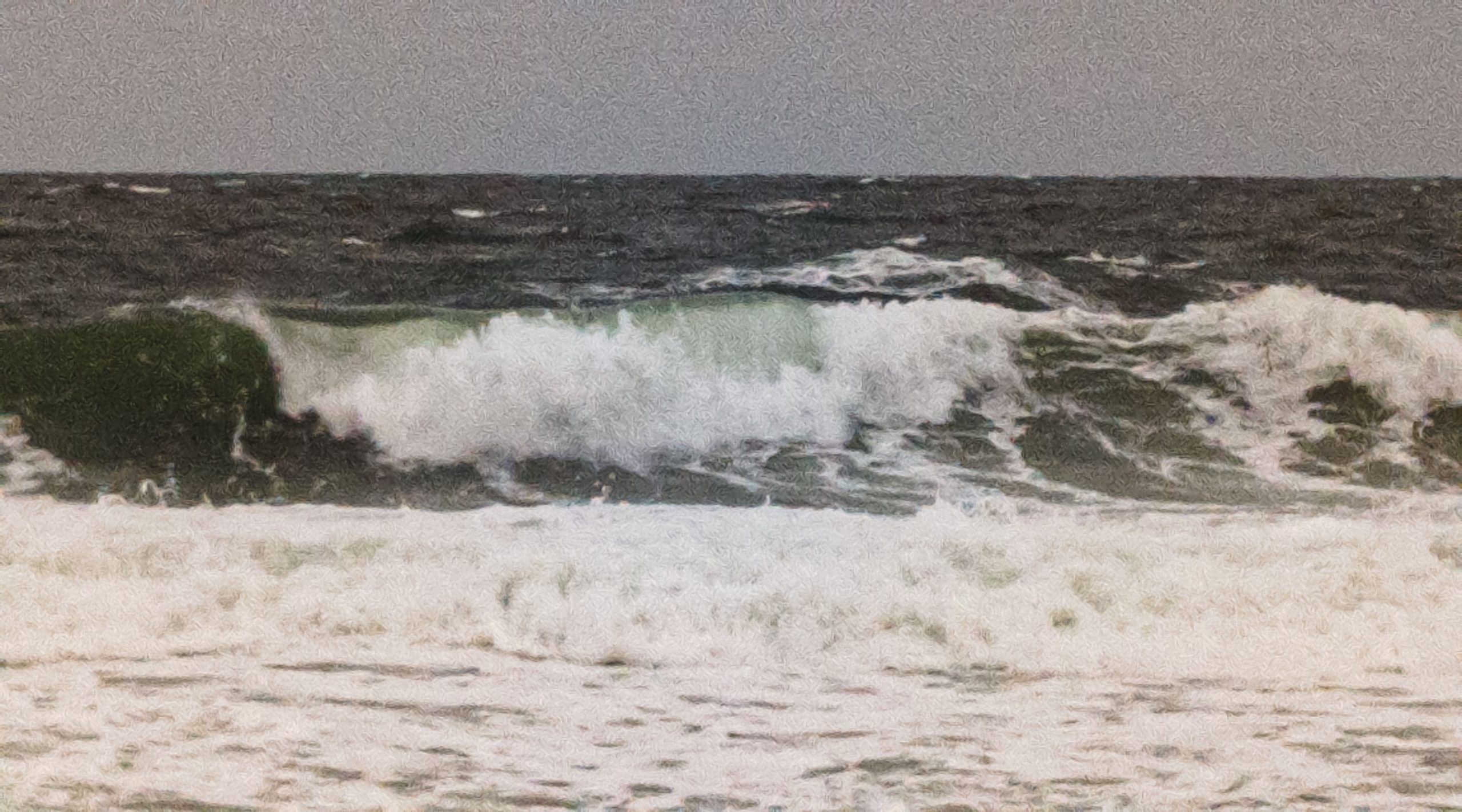
A coastal storm moves into the Jersey Shore, Sept. 22, 2023. (Photo: Shorebeat)
A coastal storm moves into the Jersey Shore, Sept. 22, 2023. (Photo: Shorebeat)

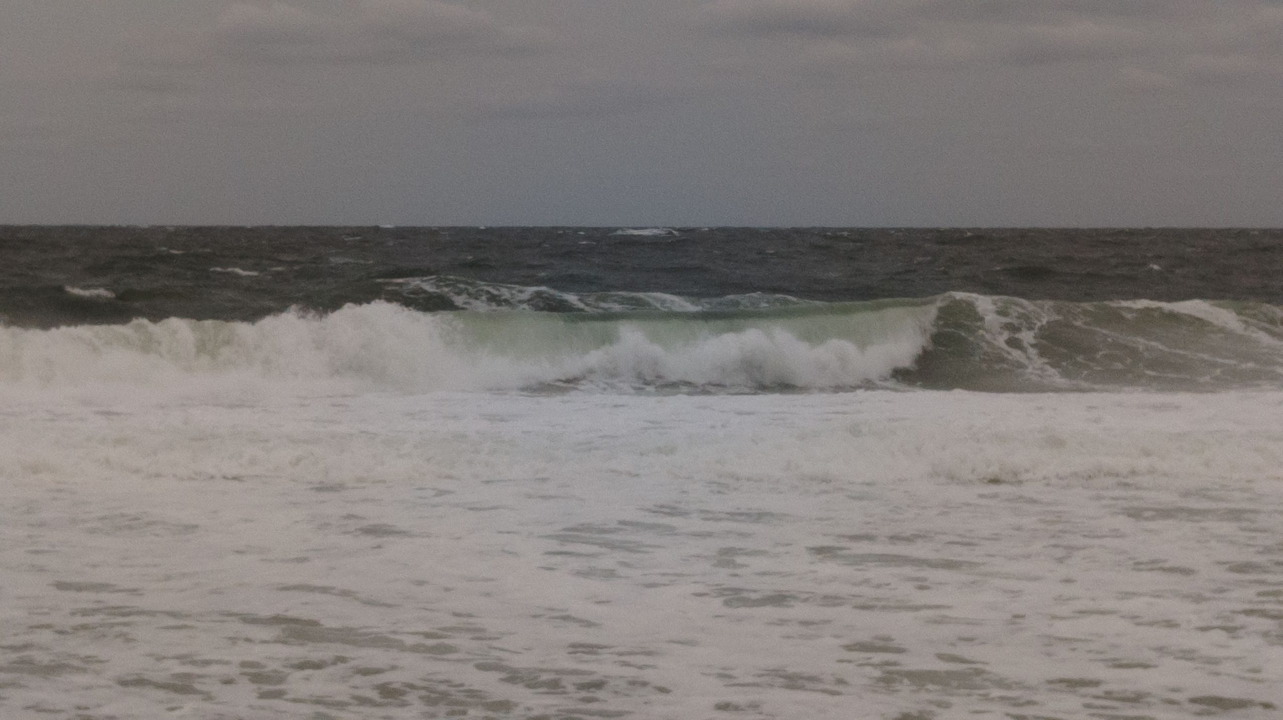
A coastal storm moves into the Jersey Shore, Sept. 22, 2023. (Photo: Shorebeat)
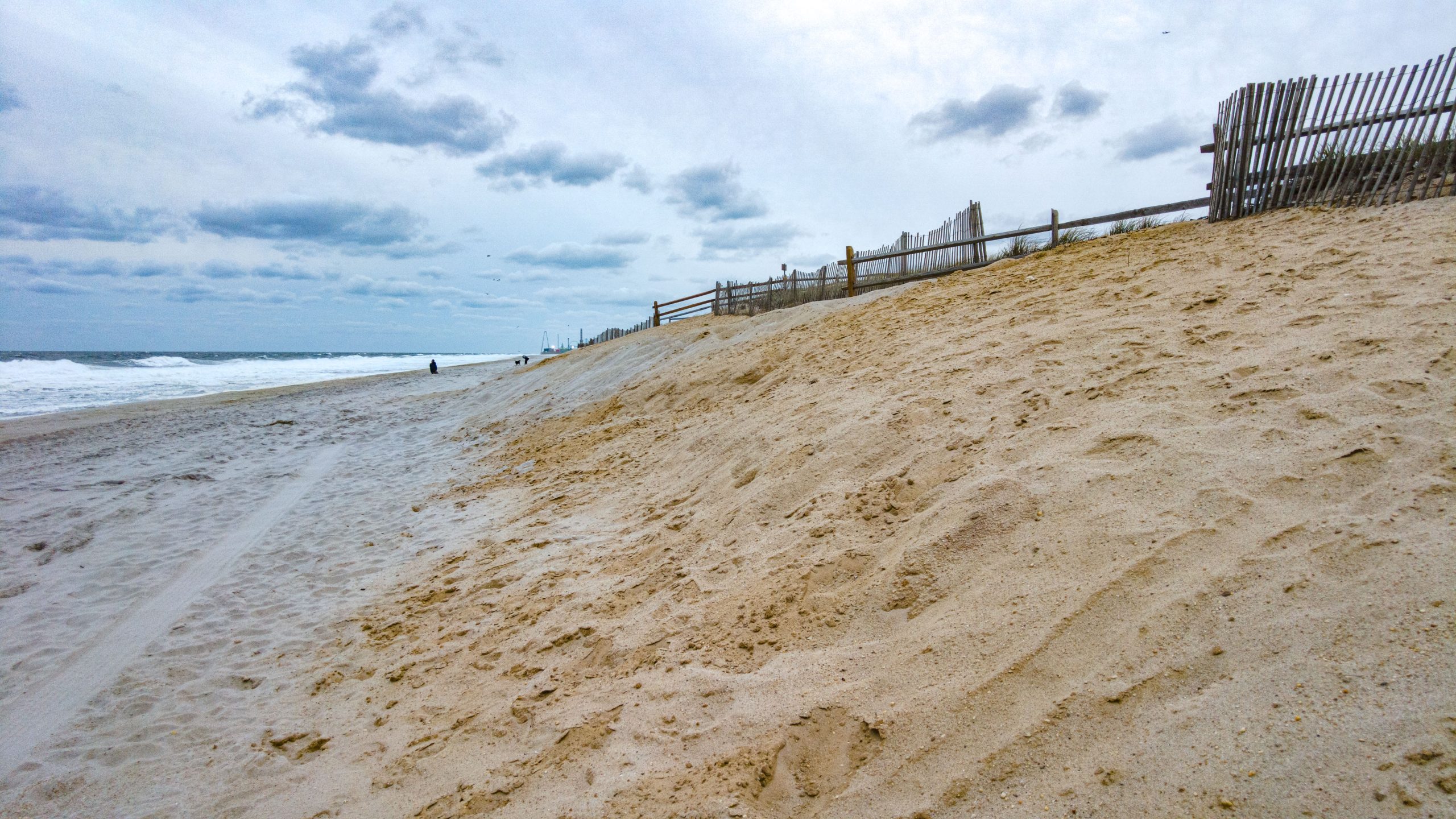
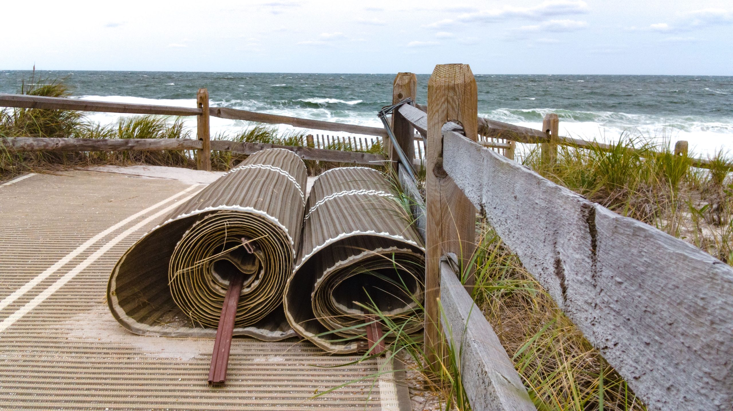
Toms River crews have removed the bottom portion of Mobi-Mats that lead from dune crossovers to the beach berm, as these pricey pieces of beach infrastructure are often the first to become damaged in rough weather. Beaches remained closed in Point Pleasant Beach at all entrances in the continuing row between the state at the Storino family, owners of Jenkinson’s, the corporate entity that owns almost the entire town’s beach. Other towns allowed access, but swimming was banned, and few (if any) people were near the beachfront except onlookers taking photos.
A coastal storm moves into the Jersey Shore, Sept. 22, 2023. (Photo: Shorebeat)
A coastal storm moves into the Jersey Shore, Sept. 22, 2023. (Photo: Shorebeat)
A coastal storm moves into the Jersey Shore, Sept. 22, 2023. (Photo: Shorebeat)
A coastal storm moves into the Jersey Shore, Sept. 22, 2023. (Photo: Shorebeat)
There were numerous weather advisories currently in place from the National Weather Service, including:
- High Wind Warning
- Coastal Flood Warning
- Rip Current Advisory
- High Surf Advisory
“Northeast winds 25 to 35 mph with gusts up to 60 mph are expected,” the NWS said, between Friday night and 8 p.m. Saurday. “Damaging winds will blow down trees and power lines. Widespread power outages are expected. Travel will be difficult, especially for high profile vehicles.”
For the High Rip Current Risk, dangerous rip currents are expected, the NWS said. For the High Surf Advisory, large breaking waves of up to 8 feet are expected in the surf zone, with some as high as 10-12 feet possible during periods of high wind gusts. For the Coastal Flood Warning, one to three feet of inundation above ground level is expected in low-lying areas near shorelines and tidal waterways.
“At this level, widespread roadway flooding occurs in coastal and bayside communities and along inland tidal waterways,” the statement went on to say. “Many roads become impassable. Some damage to vulnerable structures may begin to occur. Dangerous swimming and surfing conditions and localized beach erosion. Rip currents can sweep even the best swimmers away from shore and into deeper water.”
The coastal flood risk is especially high due to northeast winds that “trap” water in the bay, disallowing it to drain during high tide.
“This could result in minor to moderate coastal flooding lingering after high tide [Saturday],” the statement said. “Additionally, minor flooding is possible again with the Sunday afternoon high tide.”
Precipitation amounts between a tenth and quarter of an inch are possible overnight, with another 1-2 inches of rain expected to fall Saturday, sometimes within heavy storms. Another 1-2 inches of rain will fall Saturday night, the NWS said. The rain is now forecast to hang around later Sunday, with the chance of another three-quarters of an inch poised to fall toward the end of the weekend.
Clouds, showers and breezy weather will linger through Monday night, the NWS said.

Police, Fire & Courts
Toms River Police Catch Well-Known Suspect Attempting to Burglarize Vehicles

Police, Fire & Courts
Fatal Toms River Hit-and-Run Results in Charges Against Local Man, 68

Police, Fire & Courts
Foursome Accused of Dismembering Body Following Murder of Toms River Man