A light west wind helped create some perfect small to medium-sized swells along Jersey Shore beaches Wednesday, partially driven by the local weather pattern and partially by the presence of Hurricane Franklin, hundreds of miles offshore of the Carolinas and moving farther and farther away into the Atlantic.
We had fun seeing some late-summer surf that we could actually photograph (fall nor’easters and cameras don’t mix) and did our best to show some late-summer wave action at a spot that will always be a favorite. (Note: some ad-blocking software may interfere with the video embedded above). But for those without a board who just want to take a swim, will the rip currents and high swells continue? According to the National Weather Service, it appears they will – at least for a few more days.
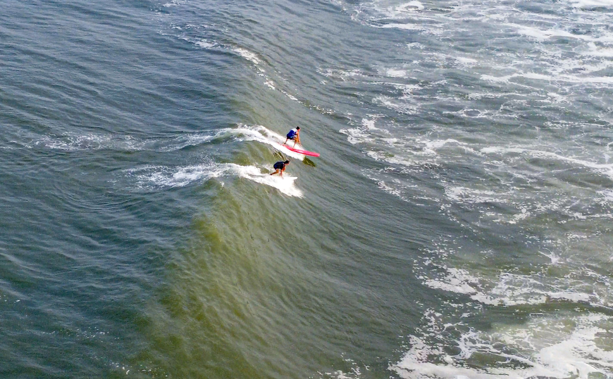
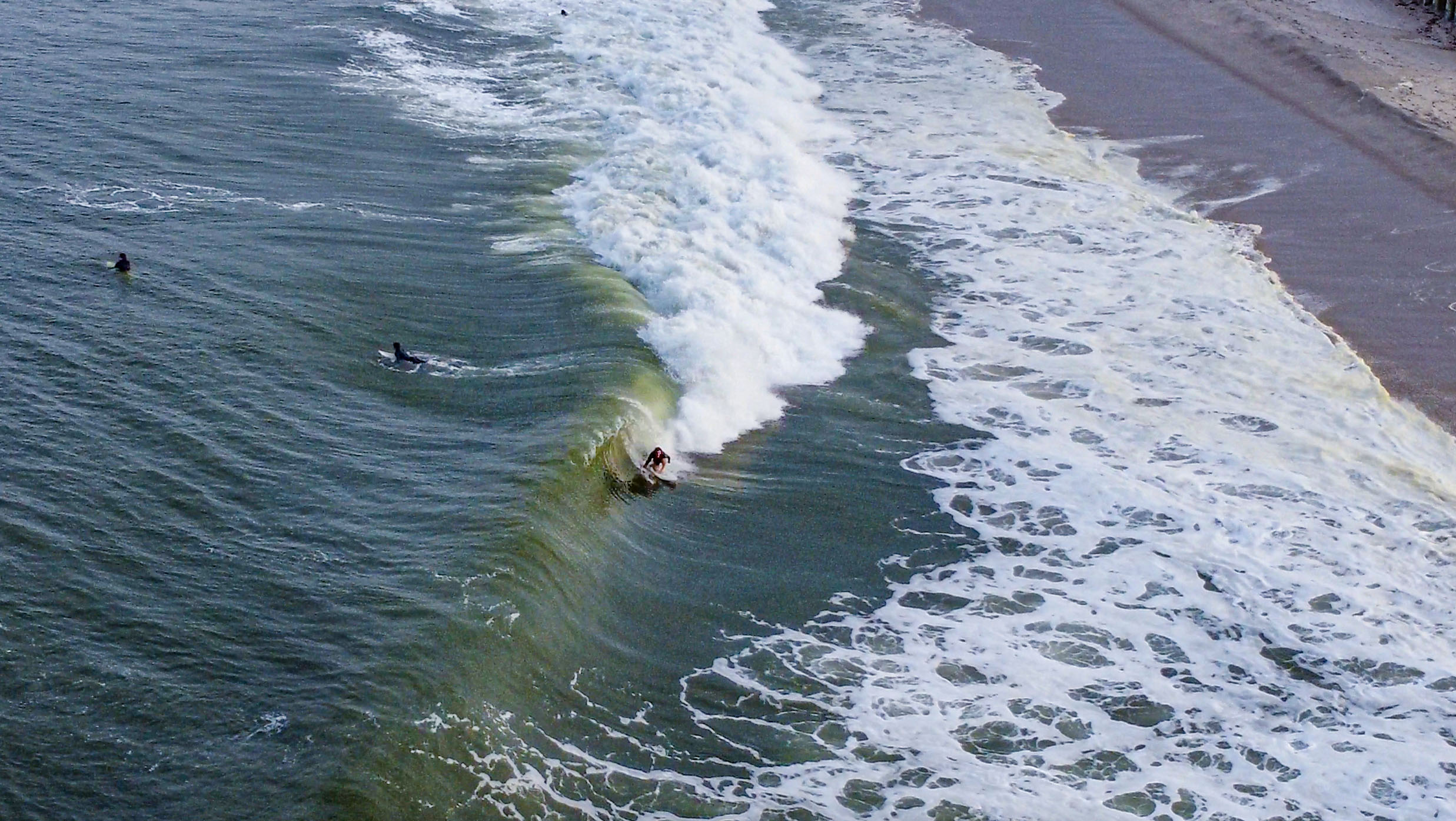
Surfers catch waves near Casino Pier, Aug. 30, 2023. (Photo: Shorebeat)
The NWS’s Surf Zone Forecast for Ocean County calls for a “high” rip current risk with wave heights in the surf of 4-6 feet on Thursday. A high rip current risk means the presence of “life-threatening rip currents are likely in the surf zone.”
Northeast winds will run about 20 m.p.h. at the beach Thursday and 15 m.p.h. in the same direction Friday.
Thursday’s wave heights in the surf zone are forecast to be 3-5 feet with a “moderate” rip current risk, meaning “life-threatening rip currents are possible in the surf zone.”
High tide along the ocean will occur at 8:06 a.m. Thursday and 8:56 a.m. Friday (based in Seaside Heights). Waves and currents will already be running high due to the moon phase, which was full Wednesday night into Thursday.
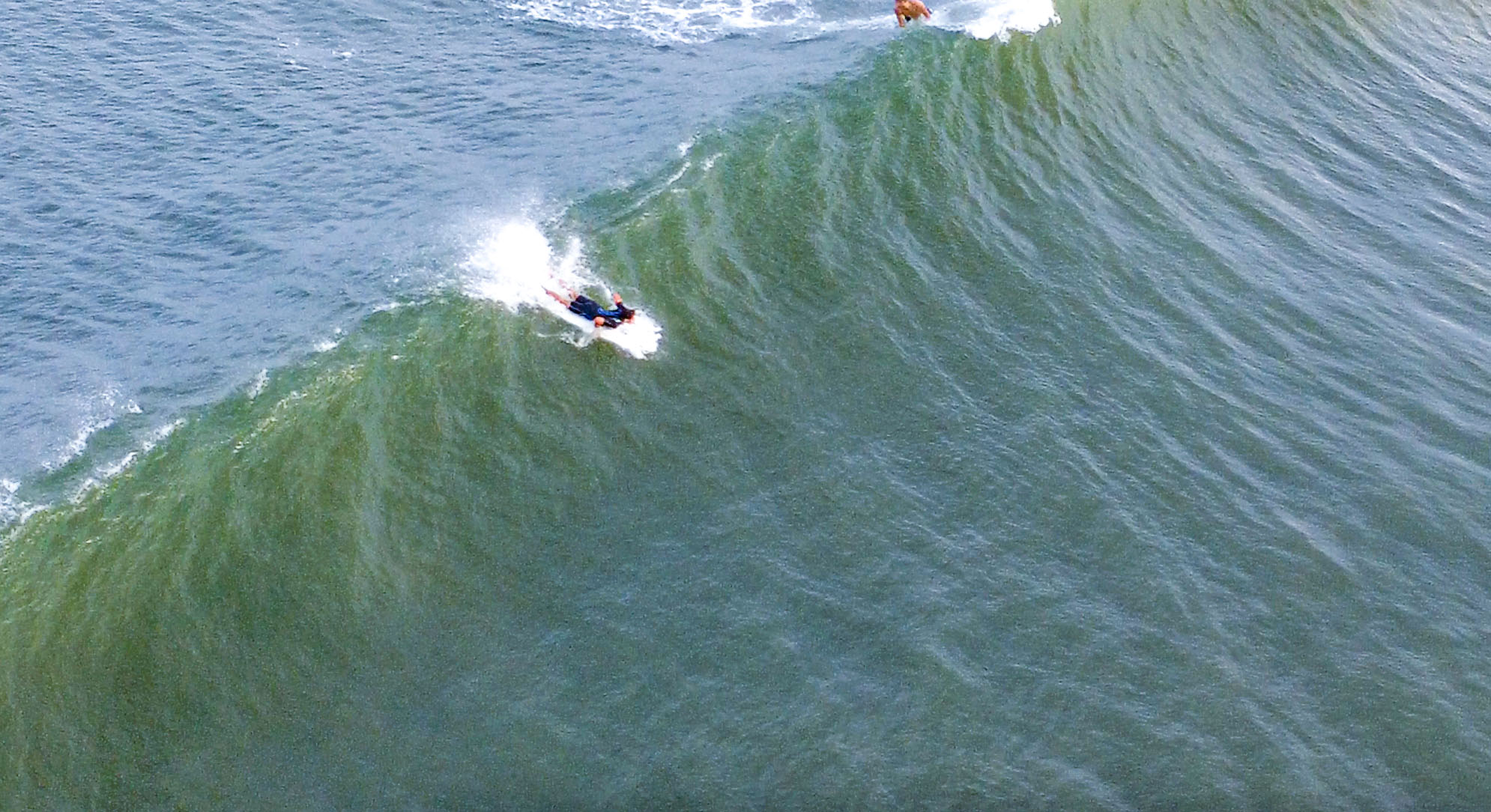
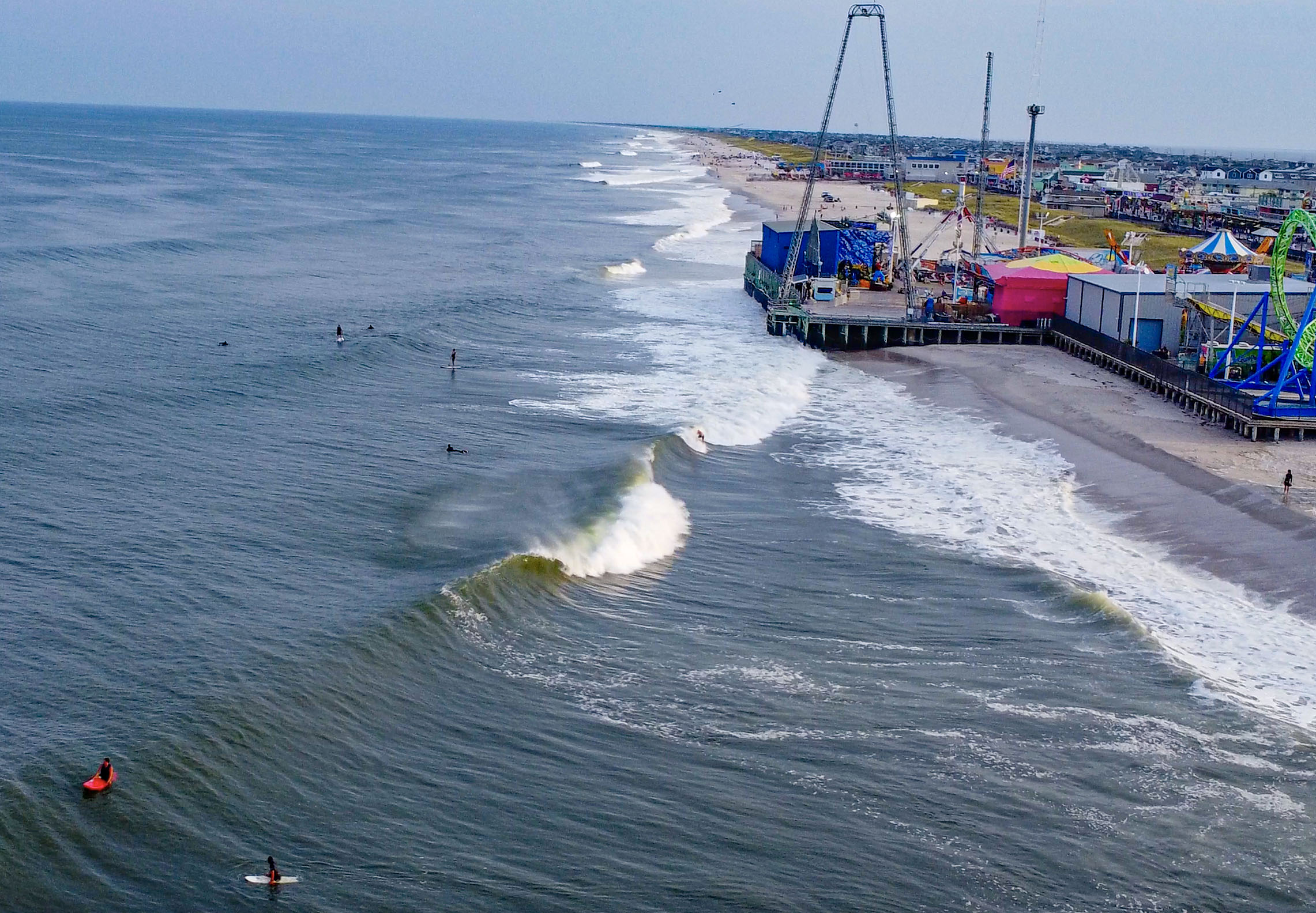
Surfers catch waves near Casino Pier, Aug. 30, 2023. (Photo: Shorebeat)
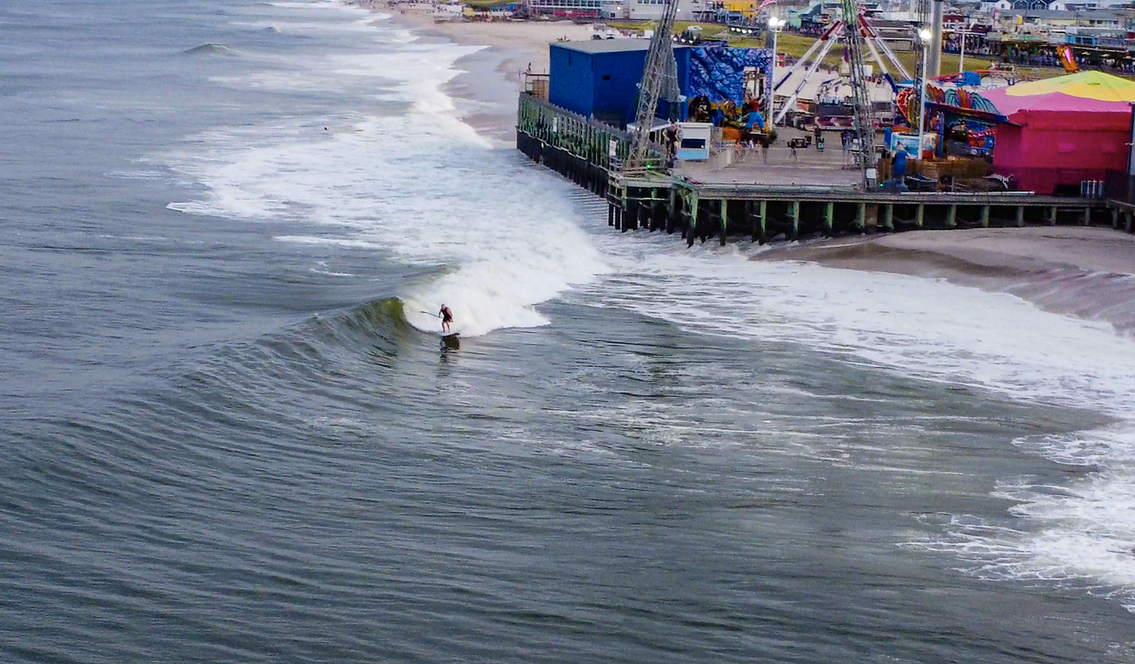
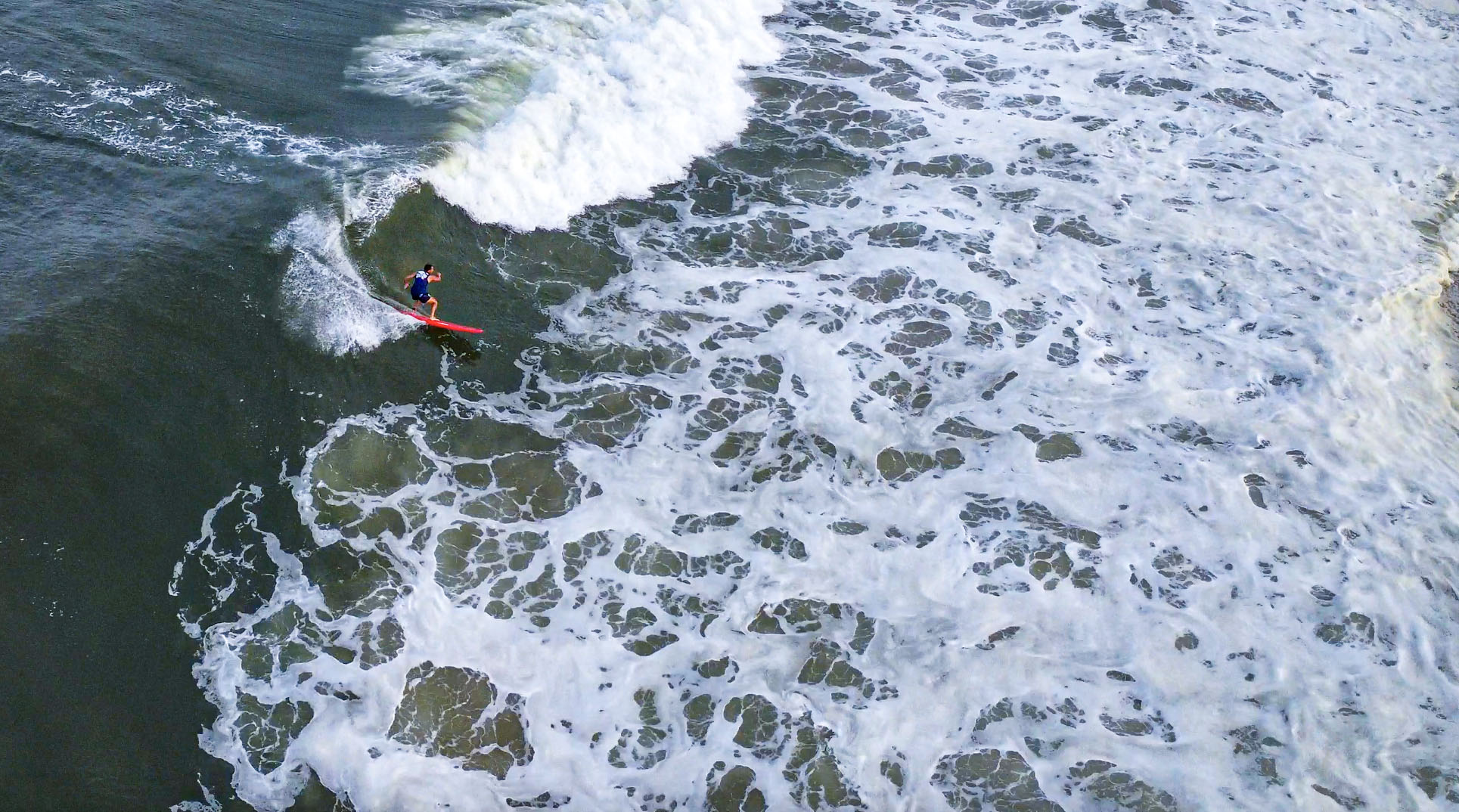
Surfers catch waves near Casino Pier, Aug. 30, 2023. (Photo: Shorebeat)
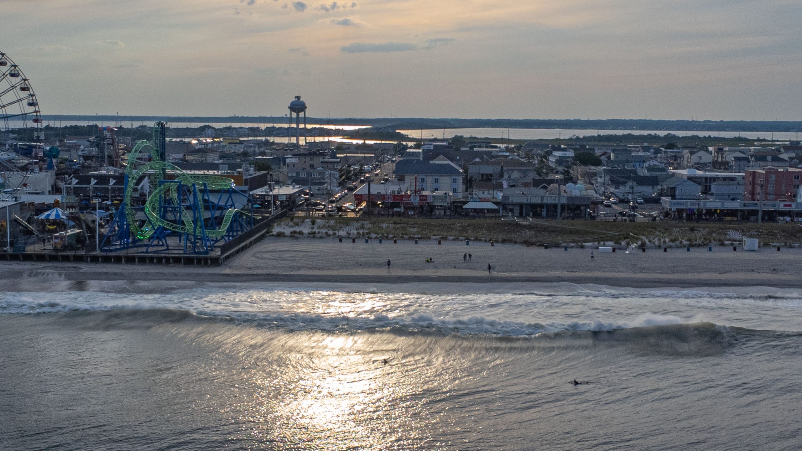
Surfers catch waves near Casino Pier, Aug. 30, 2023. (Photo: Shorebeat)
Surfers catch waves near Casino Pier, Aug. 30, 2023. (Photo: Shorebeat)
Surfers catch waves near Casino Pier, Aug. 30, 2023. (Photo: Shorebeat)
Surfers catch waves near Casino Pier, Aug. 30, 2023. (Photo: Shorebeat)
Though the NWS does not issue surf zone forecasts beyond two days, the offshore waters forecast calls for a gradual calming of seas Saturday and Sunday, meaning that may translate to safer conditions closer to shore – but there’s no guarantee. Shorebeat will publish another update as we get closer to the weekend.
A small craft advisory is in effect through Friday afternoon, and in addition to the rip current risk, there is still the chance of some minor coastal flooding in the coming days.
“Water levels have crested and are lowering at most locations overnight,” the NWS statement issued early Thursday said. “Minor coastal flooding is forecast with the next high tide cycle Thursday evening. Additional advisories will be issued later this morning.”

Police, Fire & Courts
Toms River Police Catch Well-Known Suspect Attempting to Burglarize Vehicles

Police, Fire & Courts
Fatal Toms River Hit-and-Run Results in Charges Against Local Man, 68

Police, Fire & Courts
Foursome Accused of Dismembering Body Following Murder of Toms River Man