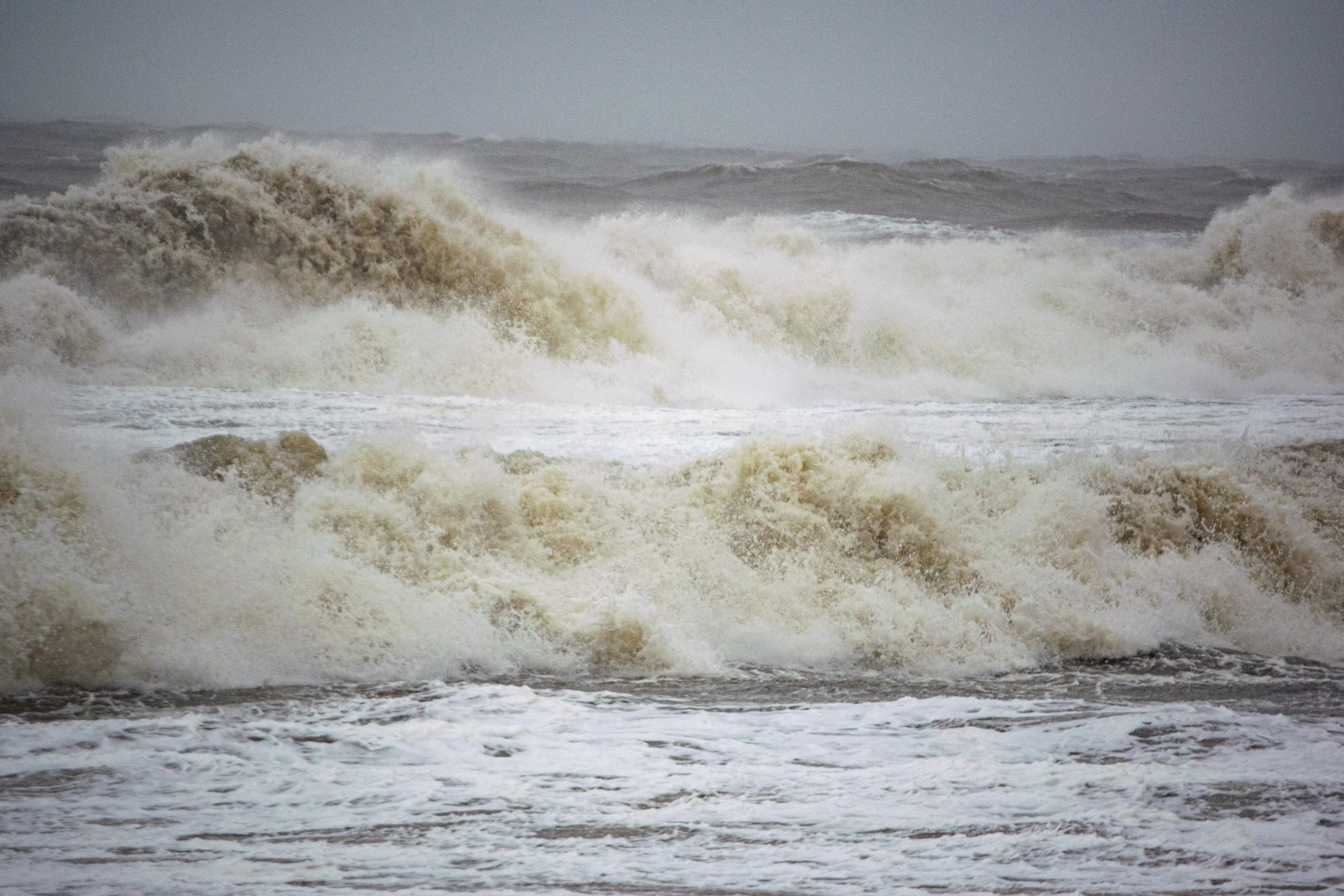
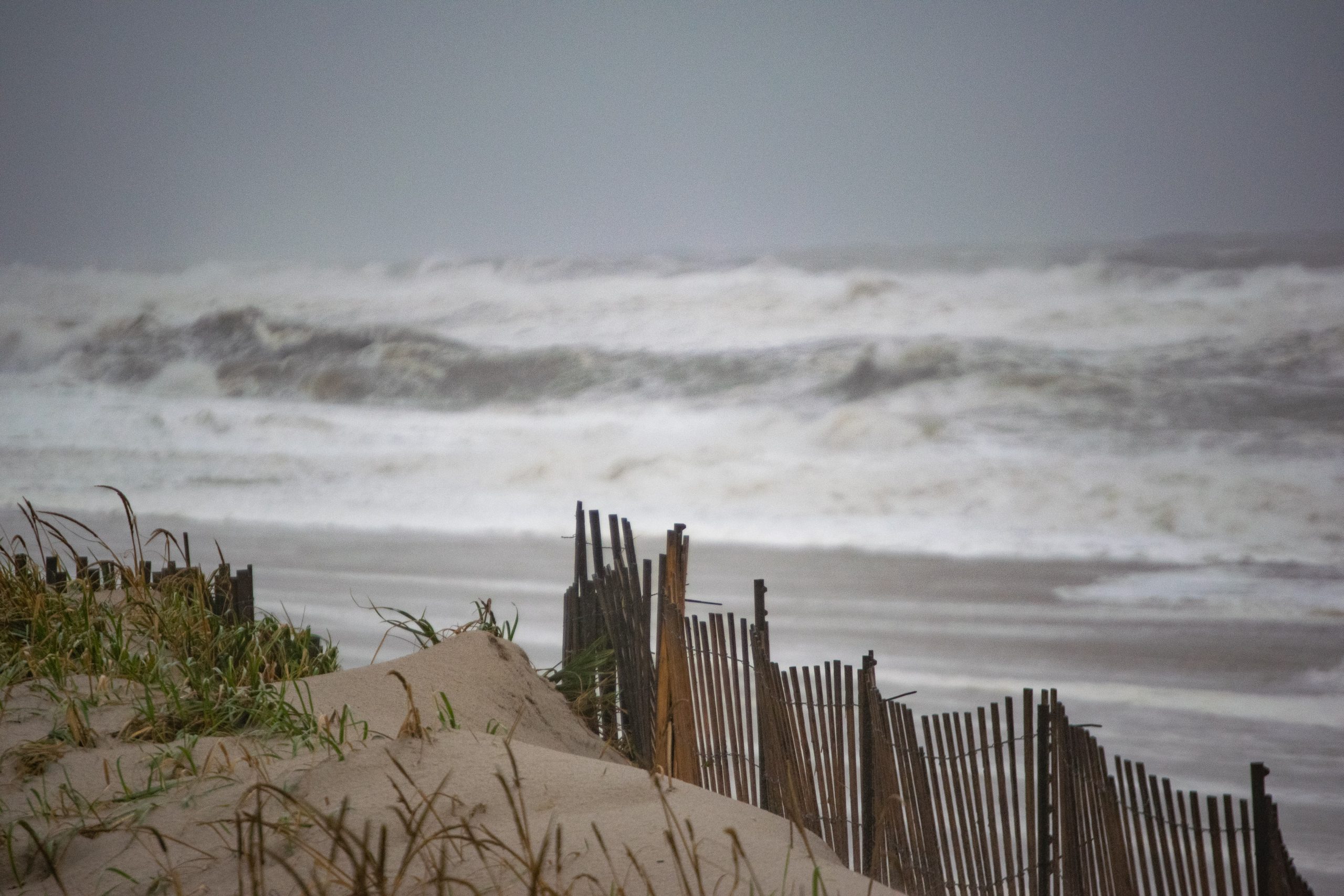
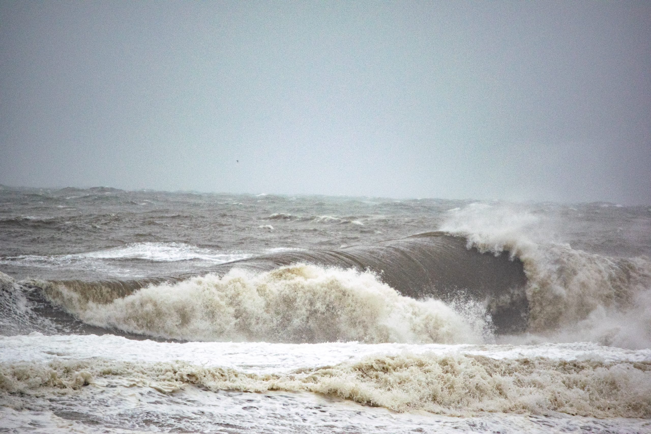
Crews nailed fencing at the entrance to beaches in Ortley Beach on Monday as waves up to 14-feet in height pounded the Shore area, with the first clear signs of damage beginning to show.
Waves lapped at the dune lines in nearly every local town Monday, though the usual trouble spots – Ortley Beach, Normandy Beach and Bay Head – saw the highest loss of sand. In Ortley Beach, entrances were damaged and debris was scattered on what little sand remained, even at mid-tide.

Intense waves pound beaches in Ocean County, N.J., Oct. 3, 2022. (Photo: Daniel Nee)

Intense waves pound beaches in Ocean County, N.J., Oct. 3, 2022. (Photo: Daniel Nee)

Intense waves pound beaches in Ocean County, N.J., Oct. 3, 2022. (Photo: Daniel Nee)

Intense waves pound beaches in Ocean County, N.J., Oct. 3, 2022. (Photo: Daniel Nee)
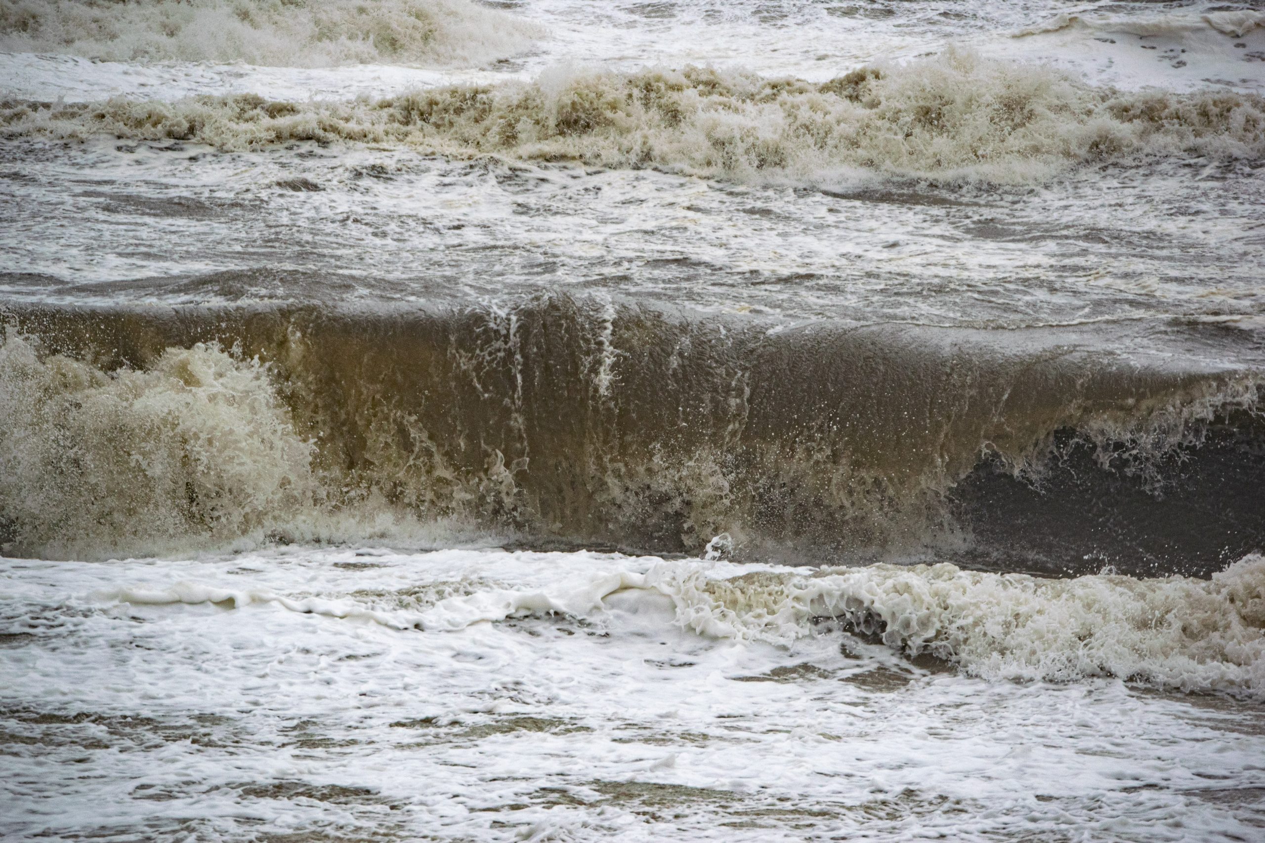
The slow-moving storm, which incorporates much of the remnants of the former Hurricane Ian, was forecast by the National Weather Service to continue lashing area beaches for at least another day. A simultaneous high surf advisory and coastal flood warning were in effect, as well as a special statement on rip currents.
The coastal flood warning remains in effect until 9 p.m. Tuesday, while the high surf advisory will be active until Wednesday morning. Seas will eventually calm to about 7-feet from the peak during high wind gusts Monday, when waves between 10-14 feet were reported. For the Coastal Flood Warning, 1-2 feet of inundation above ground level in low-lying areas near shorelines and tidal waterways was expected. On Monday, tidal impacts were relatively minor locally, though in other portions of Ocean County and the Shore area as a whole, they were more pronounced. No major roadways appeared to be closed during the day Monday.
“Impacts will be similar to Monday with the afternoon high tide Tuesday,” the NWS said. “Back bays may have worse and longer lasting impacts than the oceanfront.”
Intense waves pound beaches in Ocean County, N.J., Oct. 3, 2022. (Photo: Daniel Nee)
Intense waves pound beaches in Ocean County, N.J., Oct. 3, 2022. (Photo: Daniel Nee)
Intense waves pound beaches in Ocean County, N.J., Oct. 3, 2022. (Photo: Daniel Nee)

Intense waves pound beaches in Ocean County, N.J., Oct. 3, 2022. (Photo: Daniel Nee)
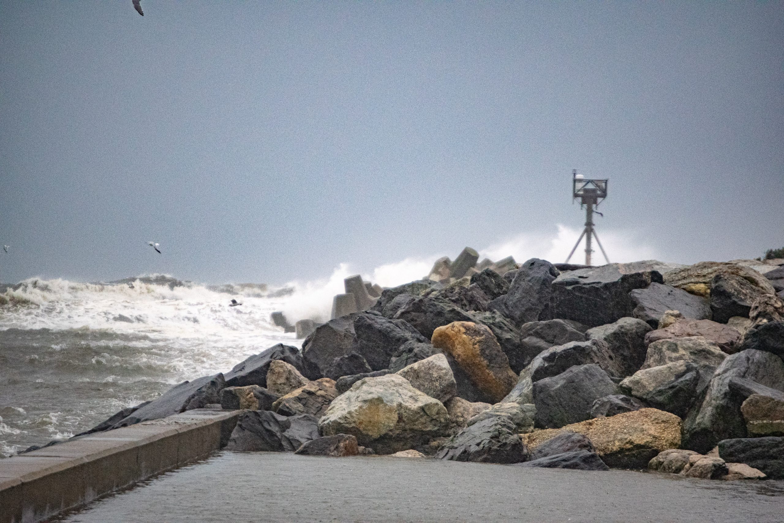
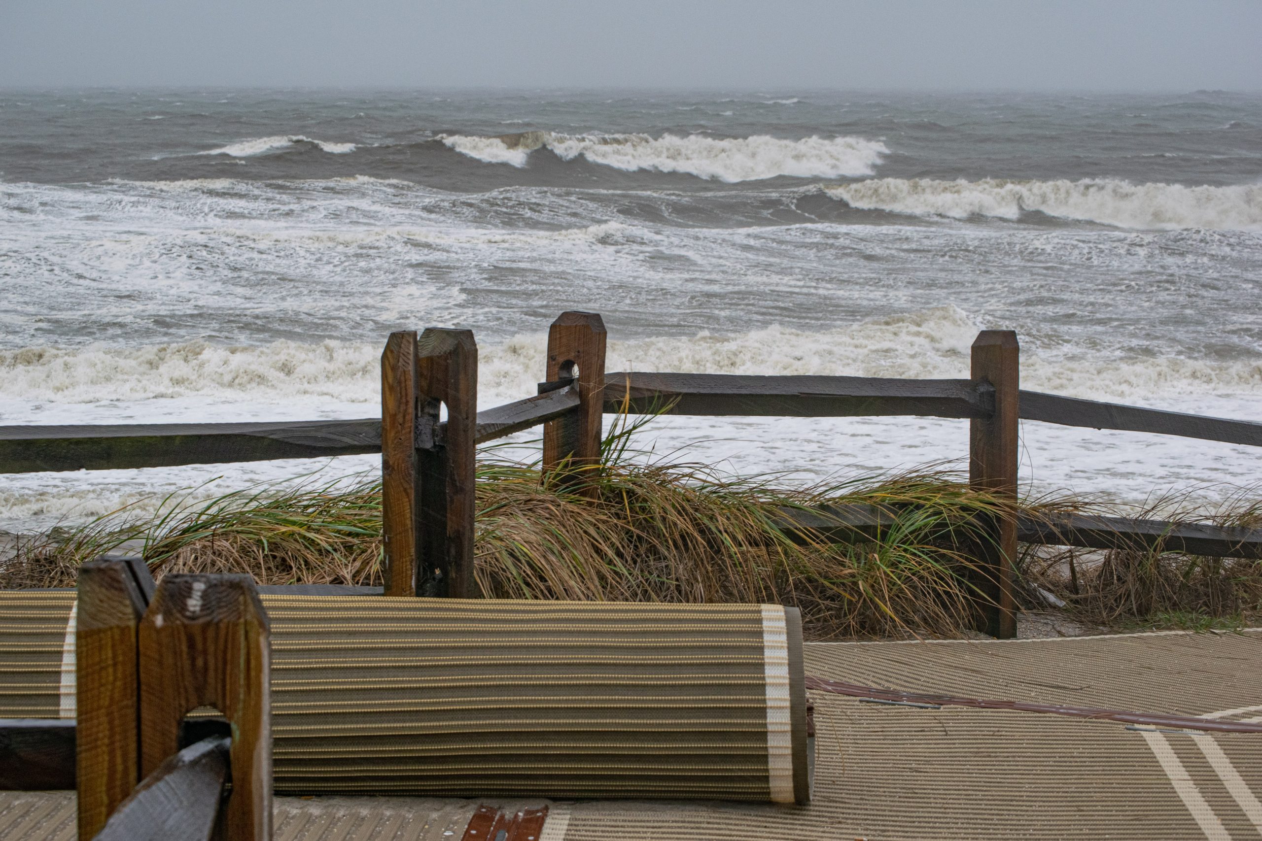
The statement went on to predict “dangerous swimming and surfing conditions and localized beach erosion” Tuesday. Unlike Sunday, no surfers were observed during Shorebeat’s survey of beaches in several communities.
Intense waves pound beaches in Ocean County, N.J., Oct. 3, 2022. (Photo: Daniel Nee)
Intense waves pound beaches in Ocean County, N.J., Oct. 3, 2022. (Photo: Daniel Nee)

Intense waves pound beaches in Ocean County, N.J., Oct. 3, 2022. (Photo: Daniel Nee)
Intense waves pound beaches in Ocean County, N.J., Oct. 3, 2022. (Photo: Daniel Nee)
Aside from the coastal effects, periods of rain and possibly a thunderstorm were forecast for Tuesday, the NWS said, with a high of 60 degrees. The rain and thunderstorms will continue into Tuesday night, with rain showers lingering most of the day Wednesday. Northeast winds will gust to 40 m.p.h. again Tuesday, and 30 m.p.h. Wednesday.
Environment & Weather
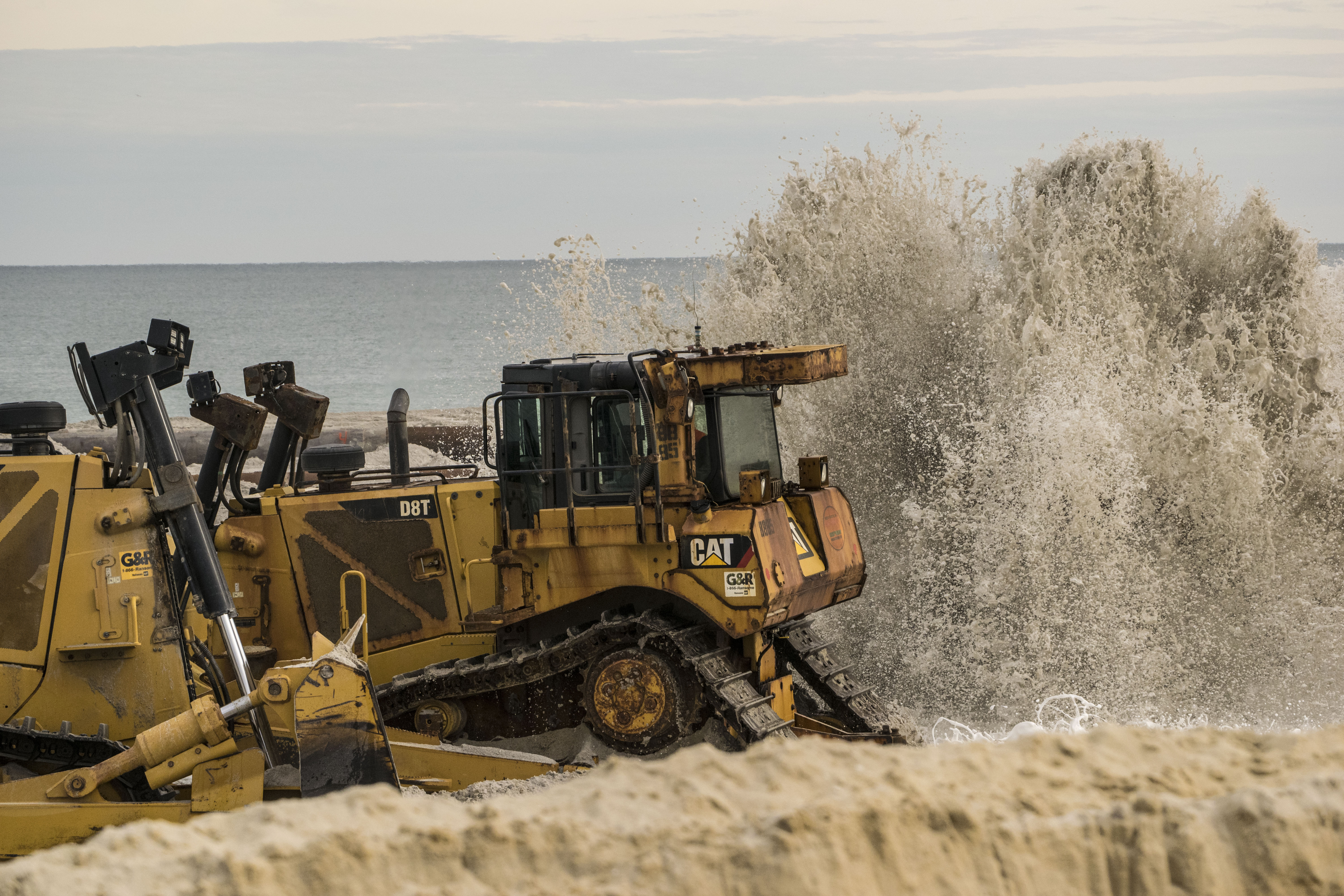
Toms River to Receive 561,000 Cubic Yards of Sand in $73.5M Beach Replenishment Project


Police, Fire & Courts
Toms River Kidnapping, Sex Assault Suspect to Remain in Jail


