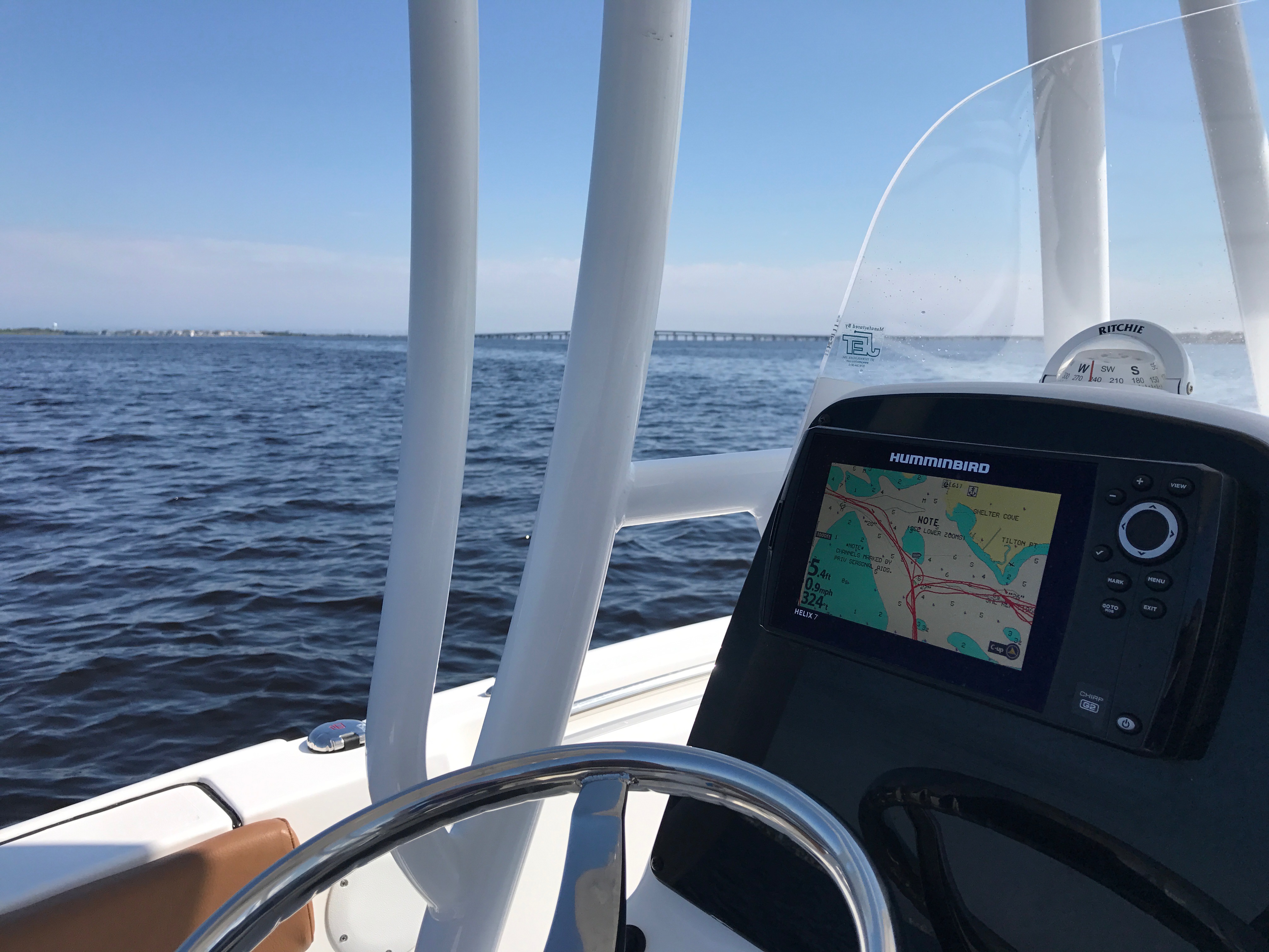
Boating on Barnegat Bay. (Photo: Daniel Nee)
The state Department of Environmental Protection has developed a map that can be accessed on a desktop or mobile device, allowing readers to view the most ecologically sensitive areas of Barnegat Bay so they can avoid them while boating.
Boaters can use the online, interactive map to locate 16 designated ecologically sensitive zones around the bay, officials announced Monday. The maps also show the locations for marinas, sewage pump-out facilities, bait and tackle shops, launches and ramps, restrooms, and places to dispose of trash.
To view the map, visit: www.nj.gov/dep/barnegatbay/
“As an industry, we work hard every day to preserve our natural resources and encourage boaters to be aware of their actions and impacts at all times and to do their part when out on the water, “ said Melissa Danko, Executive Director of the Marine Trades Association of New Jersey, in a statement. “Spending summers on the water and enjoying all that New Jersey’s waterways have to offer is a way of life for so many residents and visitors. That is why it is so important that we work together to protect these natural resources not only for this generation but for generations to come.”
Barnegat Bay is 42 miles long, but very narrow, ranging from 1.2 miles to 3.7 miles in width. It is also shallow, averaging four to five feet deep in most places. This makes the bay particularly sensitive to damage by boats and personal watercraft, DEP officials said.
The waters of the bay support plants, fish and other wildlife. Ecologically sensitive submerged aquatic vegetation provides fish and wildlife habitat. Motor boat propellers and turbulence caused by boat wakes can disturb and harm these important plants. Shellfish can also be disturbed by these craft.
To help protect Barnegat Bay, DEP encourages boaters to follow these guidelines:
- Stay away from restricted areas set aside for wildlife;
- Do not harass nesting birds and other animals;
- Maintain a 100-foot distance from natural shorelines;
- Minimize wakes by slowing down in all shallow areas to help reduce erosion and harm to aquatic animals and plants;
- Use buoys to moor chains and lines to prevent them from scraping the bay’s bottom and disturbing submerged aquatic vegetation;
- Appreciate wildlife from a distance;
- Reduce air pollution by not idling boats or personal watercraft in open water.
To learn more about environmentally conscious boating, and reducing impact to Barnegat Bay and other state waterways, boater can visit: www.nj.gov/dep/barnegatbay/docs/BoaterESA.pdf

Police, Fire & Courts
Toms River Police Catch Well-Known Suspect Attempting to Burglarize Vehicles

Police, Fire & Courts
Fatal Toms River Hit-and-Run Results in Charges Against Local Man, 68

Police, Fire & Courts
Foursome Accused of Dismembering Body Following Murder of Toms River Man